 |
| East coast of the North island. Tasman sea |
The following pictures were taken on the Tongariro crossing, one of New Zealands great walks, located south of Taupo. Many of the volcano's situated on this walk are still active, and evidence of this was visible to us throughout our hike. The smell of sulfur in the air, hot steam rising from the ground, boiling water and hardened lava flows made this a hike like no other we have undertaken while in NZ.
 |
| Emily and Steve (our wwoof host from Eltham) |

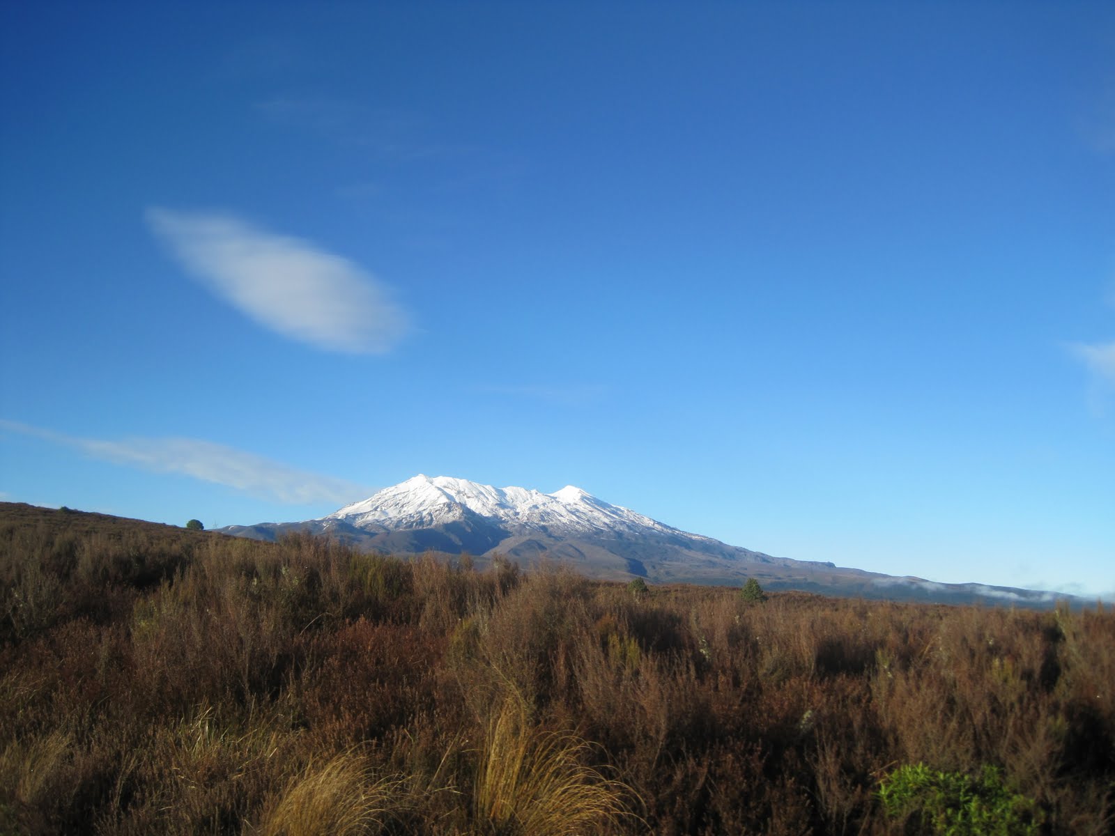 |
| Mt Ruapehu |
 |
| About to start the Tongariro crossing. A 8-9hr hike that takes you through Volcano fields, alpine environments and grassy tussocks. One of New Zealands great walks. |

 |
| View of Mt Ruapehu from the Tongariro crossing. (An active volcano that erupted a few years ago) |
 |
| Beginning of the hike |
 |
| Mt Ngauruhoe (A.K.A Mt Doom from the Lord of the Rings movies) Also an active volcano. |

 |
| John blending into soda falls |
 |
| 5km of stairs await |
 |
| The fog rolling in, the weather can change here without notice, as we found out. |
 |
| If you look closely, you can see Mt Taranaki in the distance. |
 |
| Warning of what to do in case of an eruption. Not very comforting. |
 |
| Emily with the fog rolling in |
 |
| On the central plateau about half way done the walk. |
 |
| Steve and Emily stopping for some lunch. |
 |
| The three hobbits |
 |
| Volcanic ash of past eruptions |
 |
| View from the trail |
 |
| Final climb before the trail heads downhill |
 |
| The Blue lake |
 |
| The Emerald Lakes. Once explosive craters situated on Mt Tongariro. |
 |
| The lakes behind us are not fit for swimming and the foul odor emitting from them reinforces this notion. |

 |
| Mt Ruapehu in the back ground, Mt Ngauruhoe in the middle and the red crater in the foreground |
 |
| Lake Taupo in the distance. (NZ's largest lake) |
 |
| At the end of the track, 7 and a half hours later |
 |
| View from the end of the track |
No comments:
Post a Comment